

The Plot Line—Architecture’s Other Ground
“The first person who, having enclosed a plot of land, took it into his head to say this is mine and found people simple enough to believe him was the true founder of civil society. What crimes, wars, murders, what miseries and horrors would the human race have been spared, had someone pulled up the stakes or filled in the ditch and cried out to his fellow men: ‘Do not listen to this imposter. You are lost if you forget that the fruits of the earth belong to all and the earth to no one!’”
—Jean-Jacques Rousseau, The Social Contract and The Discourses
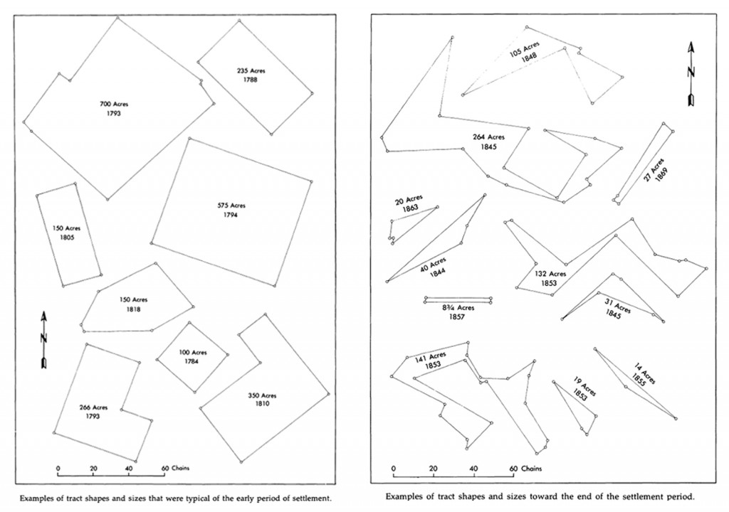
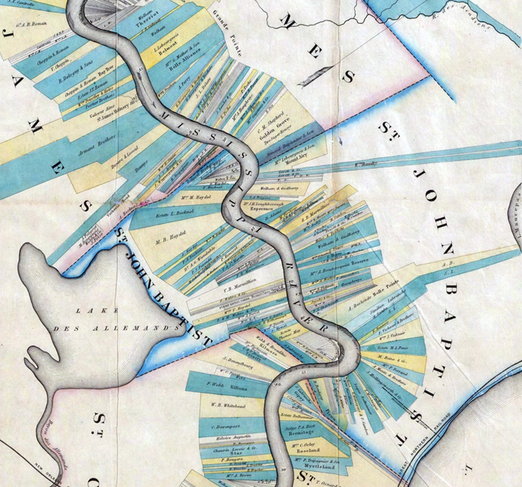
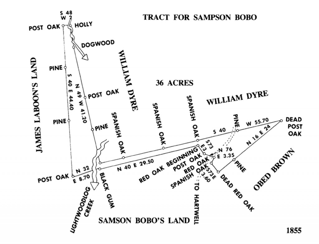
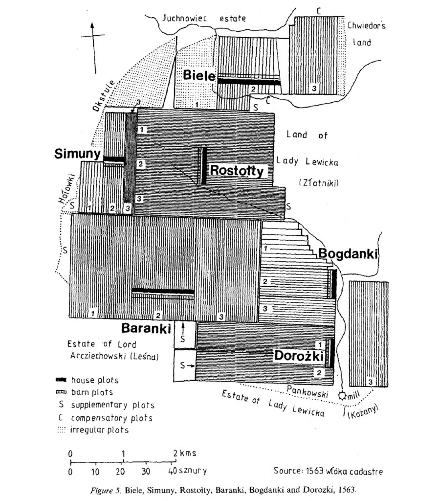
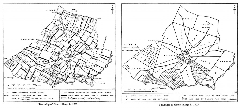
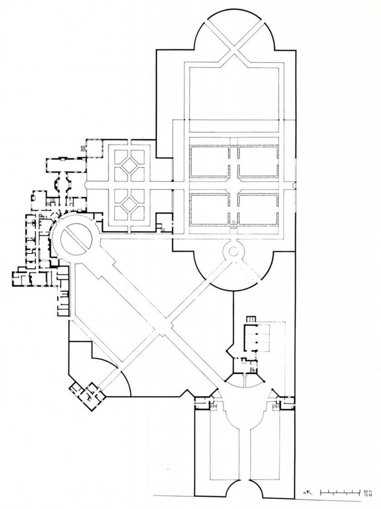
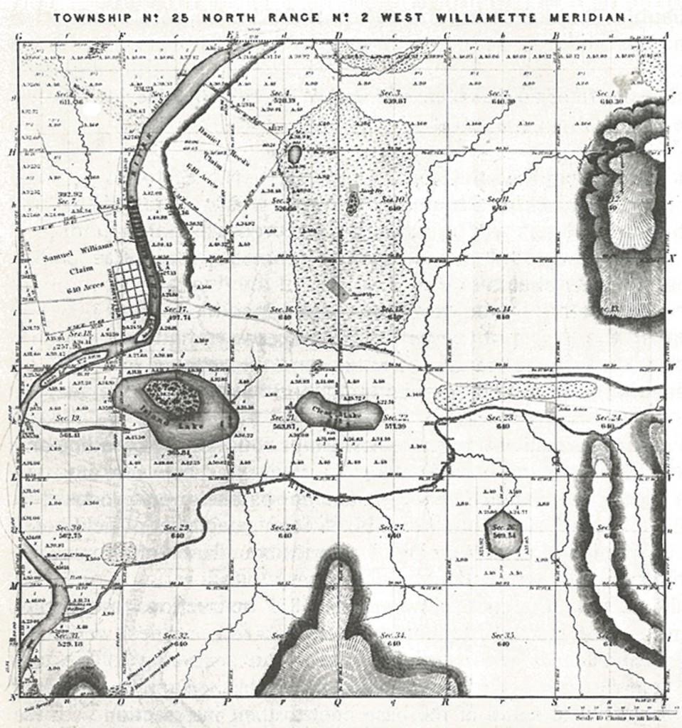
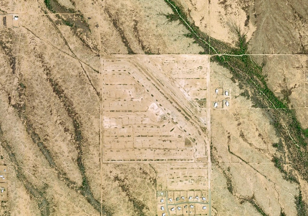
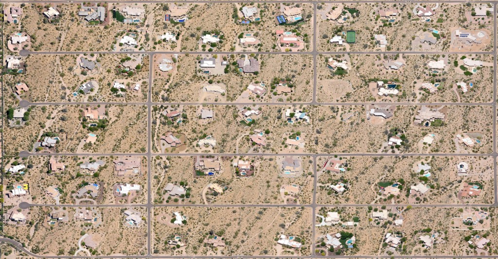
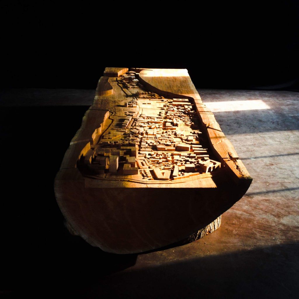
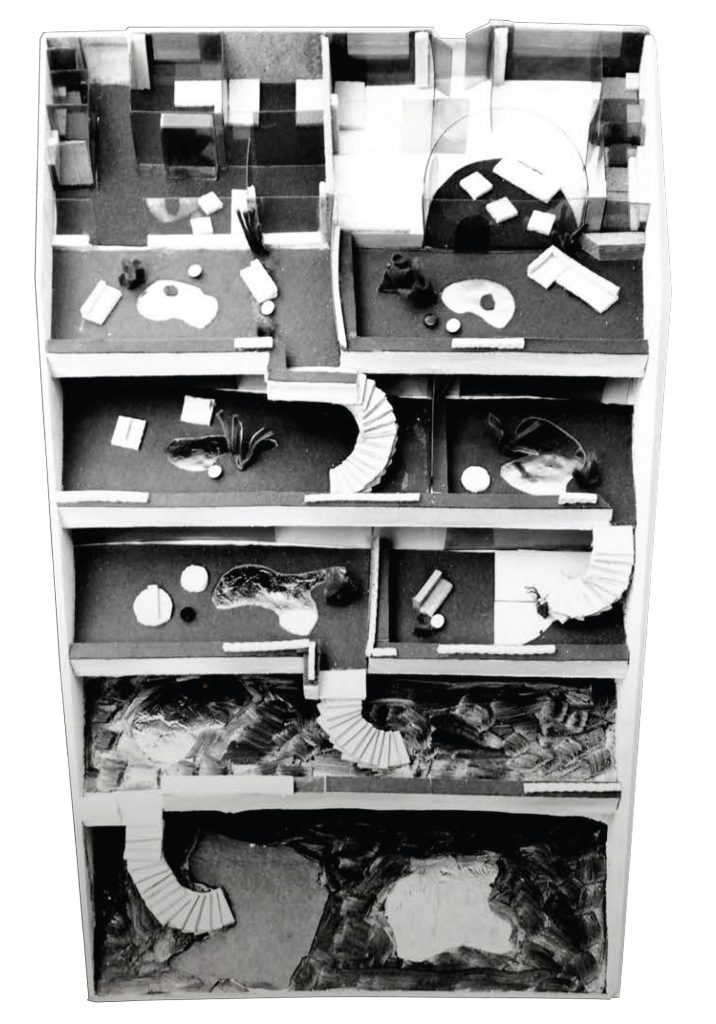
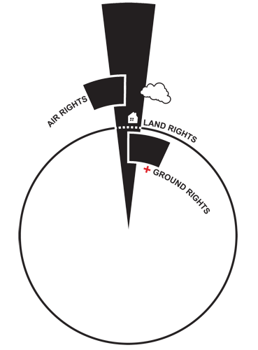
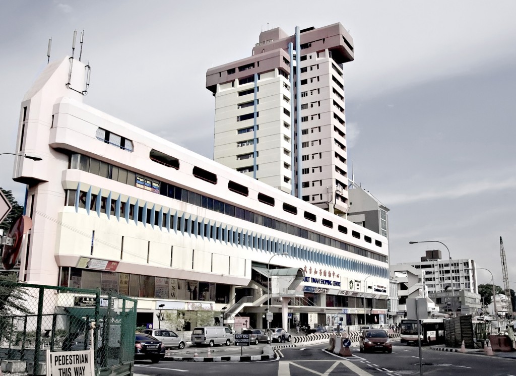
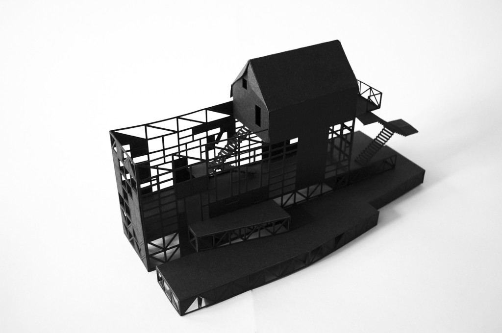
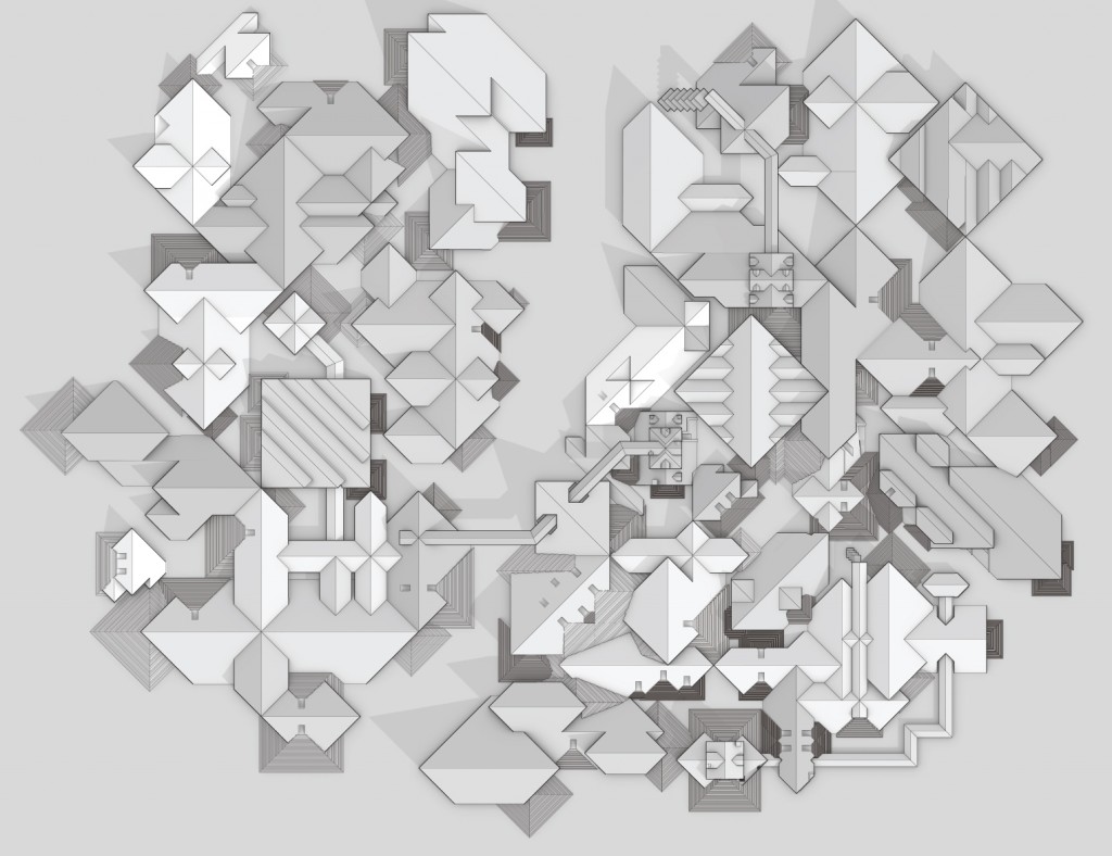
This project explores one of the most primitive and enduring urban operations, the demarcation of land. Simultaneously formal and political, the delimitation of plot lines can be understood historically as one of the first acts of urban design. Prior to any physical or architectural manifestation, plot boundaries turn continuous, open land into an agglomeration of shapes (with fronts, backs, sides). These two-dimensional contours on the land extrude out from (and into) the earth’s surface, forming immaterial envelopes (the party wall’s invisible ancestor?). The shape and proportion of these volumes alone begins to suggest a culture’s attitude toward the land, its people, and its resources. In this sense, the environment is already ‘built’ even before the first brick is laid.
This research understands the city as this type of built environment, where neither the “built” nor the “environment” are its crucial features. Rather, the “rub” or friction often lies within the inherently formless and fluctuating contour of the plot boundary. The delineation and interpretation (both architectural and cultural) of these shapes shape the city. New possibilities for both architecture and the city emerge by revisiting the basic concerns of the plot boundary: specifically, how to add/divide/subtract plot lines, what to allow in and what to keep out (easements), how to connect to or detach from that which isn’t located within the boundary, the degree of (mis)alignment with the neighbors, and where to put things (i.e. the front door). Thus, this project seeks to engage and publicize the formal history of the plot (with its implicit political and economic subtexts), not to document the city as it exists, but as a means of conspiring to hatch new plots for the city.