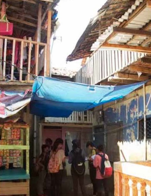
Jakarta: The Big Village
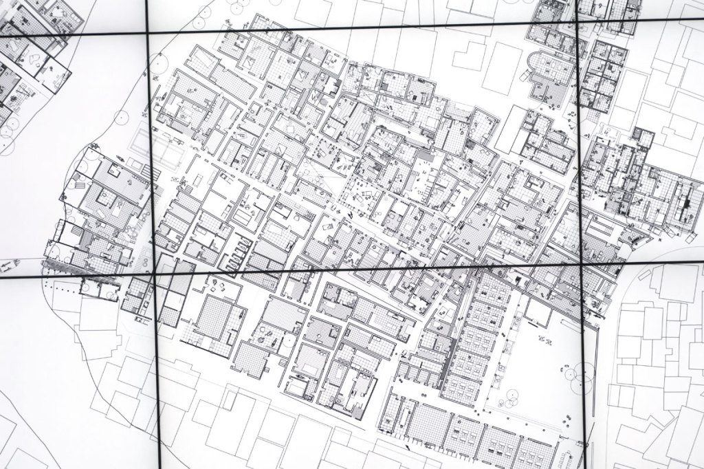
Kampung means ‘village’ and the people of Jakarta have euphemistically named their city ‘The Big Village’ – Perkampugnan yang besar. It is a collective of many different, widely informal urban villages. The combination and interpretation of the topological elements in form of maps and cross-sections allowed us to define an essential framework for our design interventions.
Many compelling proposals have been generated by past MLA studio groups, but the dilemma remains: by not really knowing exactly where the limits between private property, public village space and official state land leaves too much uncertainty. These limits are not always visible, usually not handled too exactly and mostly not accurately documented. This confusing situation isn’t surprising in an environment based on the DNA of unorthodox and informal village development rather than systematic planning. Questions of land tenure, current property use rights and the historical development from traditional (communal) to individual rights in Jakarta and Indonesia will play an important role in the studio.
In our fieldwork (18 — 23 August 2013) we will tackle a bottom-up analysis of the administrative and ownership structure at a detailed, house-by-house level and will work up the administrative pyramid as far as necessary — without leaving the limits of Kampung Melayu and Bukit Duri.
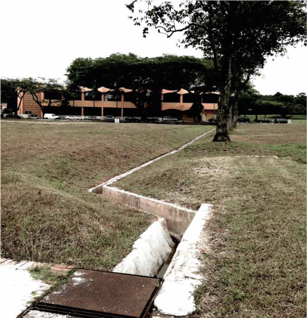
We can be sure to be able to find and document a three-dimensional network of lines and limits; it will allow us to simultaneously identify and document another crucial element in the urban tissue of our site: It is the ‘virtual river’ (Ciliwung River) that dominates the urban quality of our study site— or what we call the Horizontal Urban Trim Line (Rekittke, 2013).
Everything that is affected by the river water is located near to or on the ground, close to the streetscape and other public space. The space of the ‘City in the River’, which needs particular advertence by the designer, perfectly complies with the genuine ‘theatre of operations’ of landscape architects. We equate the changing water levels of urban rivers with what we refer to as the ‘Horizontal Urban Trim Line’. This line forces us to focus and thoroughly design everything that is below it, because it is regularly affected by temporary ‘river occurrences’. Everything above the Trim Line is less essential, widely substitutable and rather insignificant, as seen from an urbanist perspective.
The general approach of the studio is to liberate the single student from the compulsive urge of delivering fancy designs without relating it to the constraints of spatial, ecological, administrative and social reality. We would value it as a big success if we as a studio group would prove to be able to define, identify, specify and document the various lines and limits. We would be enthused if we would prove to be able to trim or actively adjust any of these lines—which would mean genuinely designing.
This studio is a collaboration with the NUS School of Architecture.